
~Eel Crag~
17th August 2011
Eel Crag (Crag Hill on Ordnance Survey maps) is the fell that looms largest in the view south-east from Scotgate campsite in Braithwaite, where I'm camping. I've been on the summit a good few times, but never attempted a direct ascent as per Wainwright's Book Six.
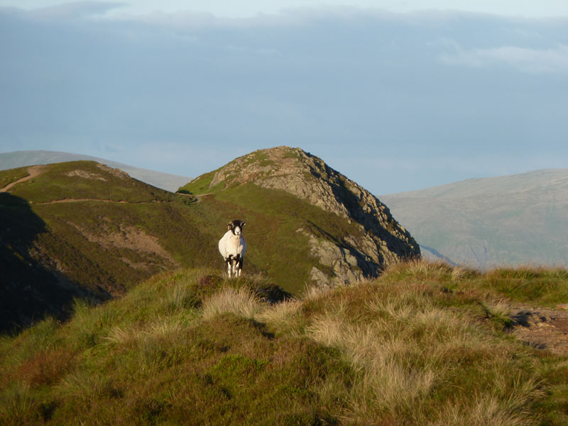
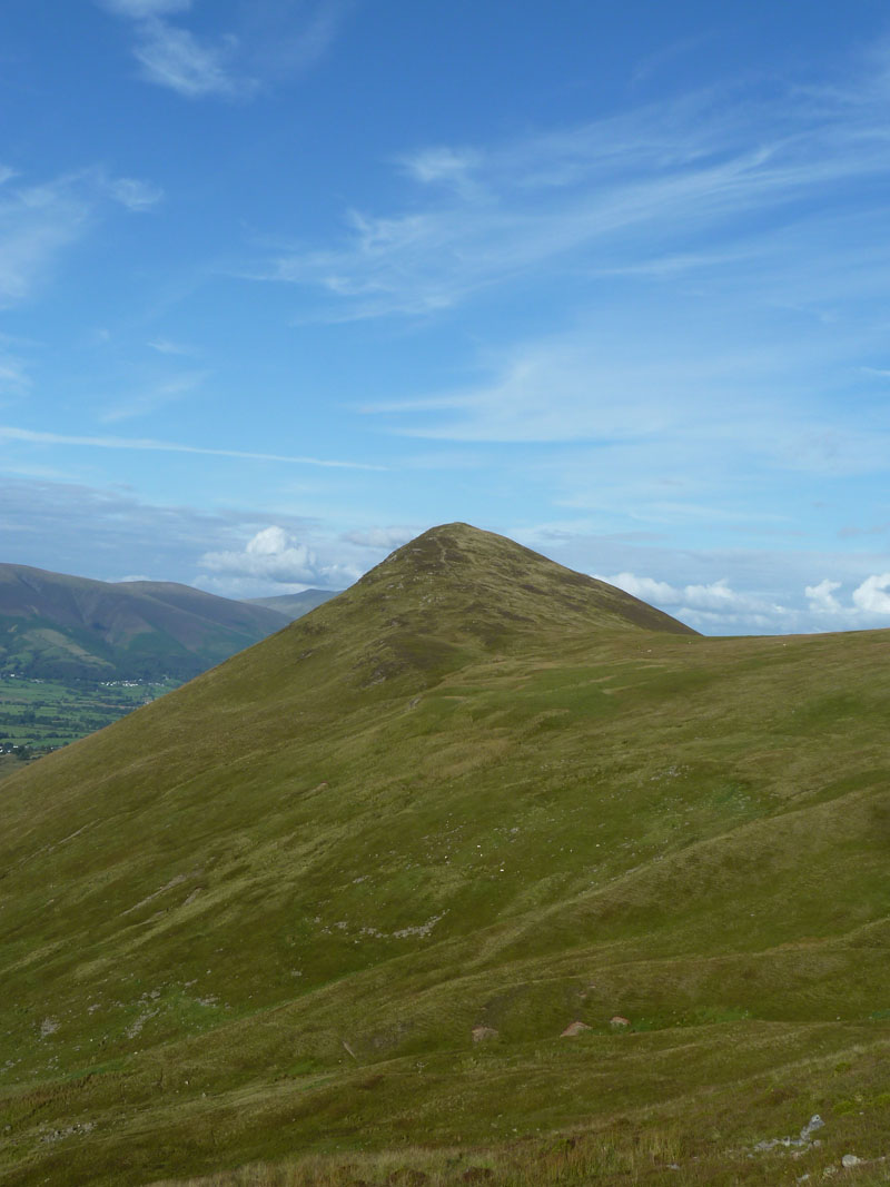
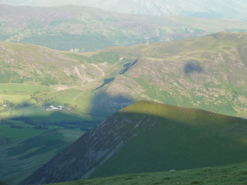
Causey Pike
Scroll down for photos and a description of the walk....
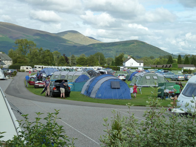
Scotgate Campsite
A busy place in the height of the holiday season. I took a gamble coming here, but there was room and it's an ideal base for fellwalking in the northern reaches of Lakeland. It's 16:30 and I'm ready for a leg stretch.
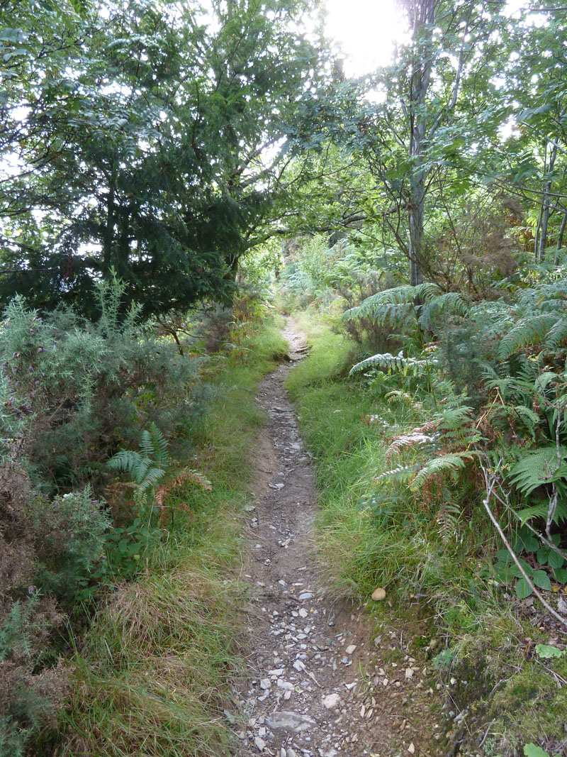
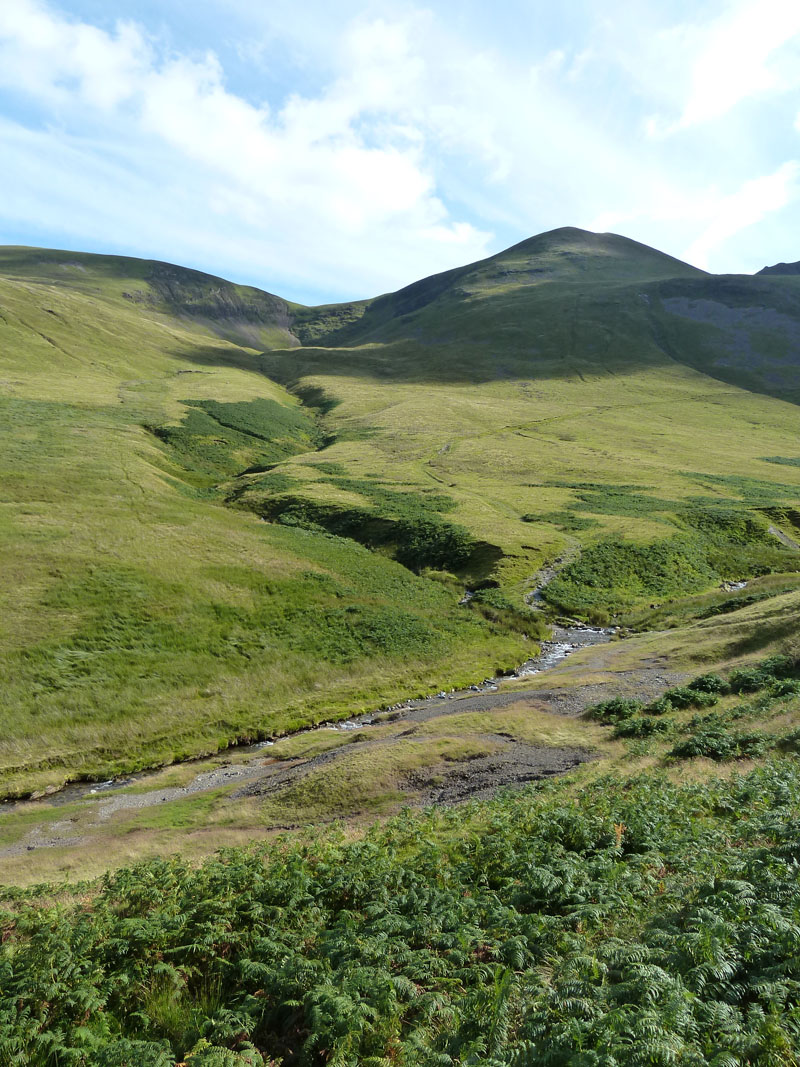
Coledale Footpath
Taking the Whinlatter Road, there is a sneaky little footpath which links the tarmac with the Coledale mine road, it saves going up to the little car park and doubling back.
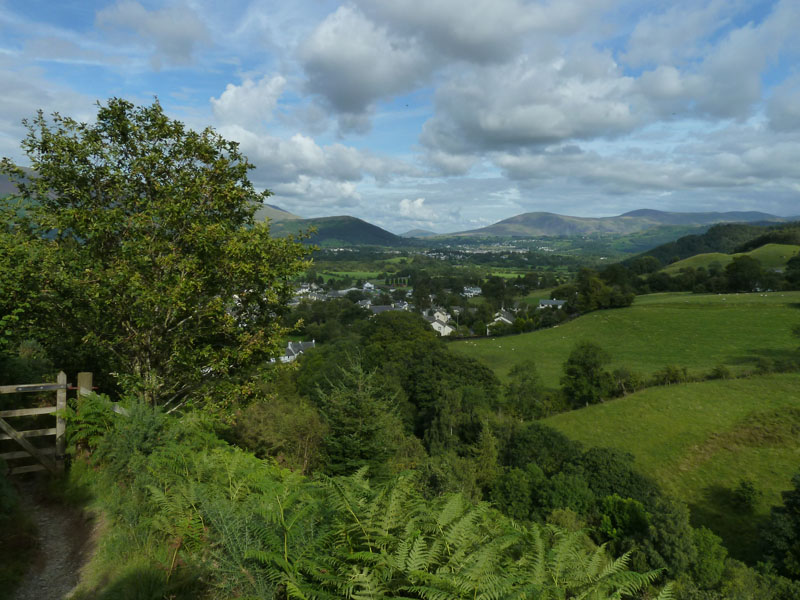
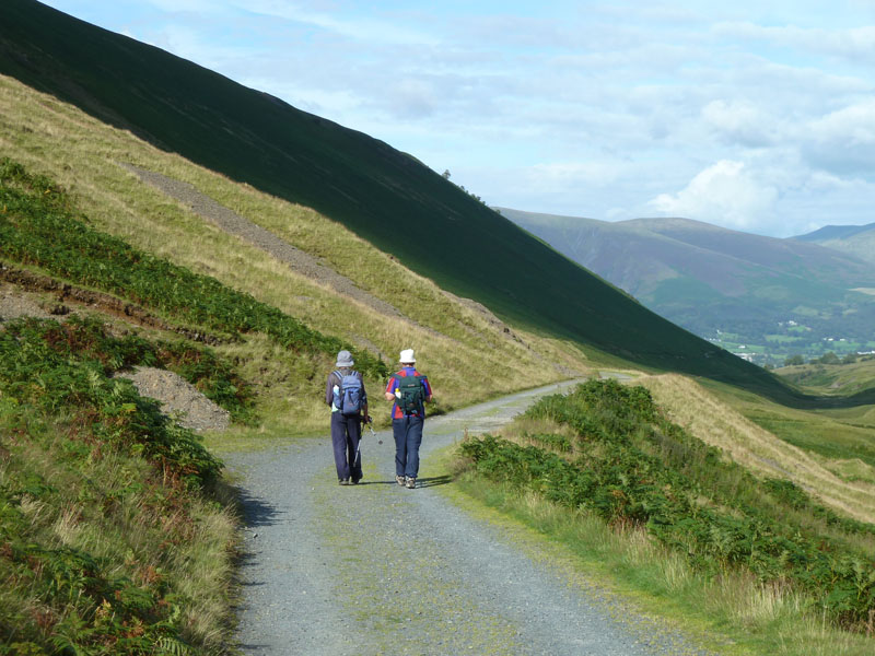
Braithwaite
With height soon gained and arriving at the mine road, the view over Braithwaite opens up. Great Mell Fell is the most distant bump on the horizon. Latrigg on the left and Clough Head on the right.
 |
 |
Busy Coledale Mine Road |
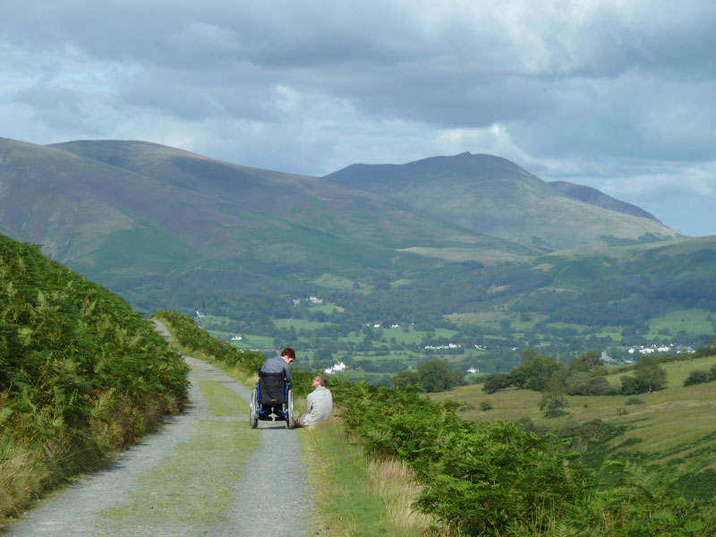
Accessibility |
 |
 |
The Coledale Mine Road |
Bill & Ben |
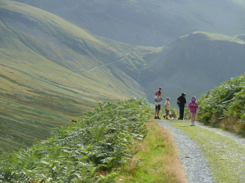
Views in Coledale Mine Road
It's just over two miles from Scotgate to the ford over the beck, but it's easy walking and it was great to see the lady in the wheelchair able to access such a remote and beautiful place. There were plenty of walkers and cyclists on the mine road. Bill & Ben, with their matching headgear turned out to be the last folk I saw on my walk.
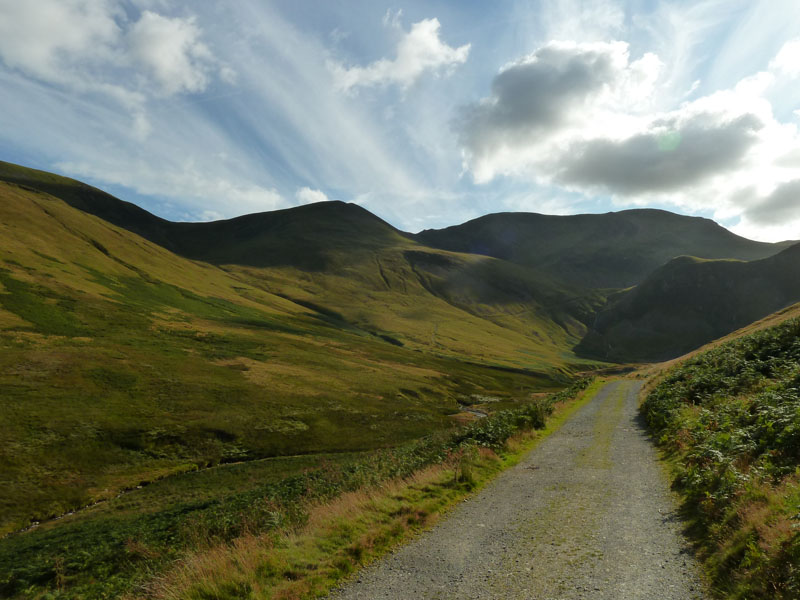
The Ford
The ford was just fordable after recent rainfall. I took the path into Long Comb (Sail) before contouring round to find "The Shelf Route" up Eel Crag - as per AW NW Fells Page 7. I'd aimed for this back in May this year on a route off Outerside, but was discouraged by persistent rain and low clouds.
 |
 |
Outerside |
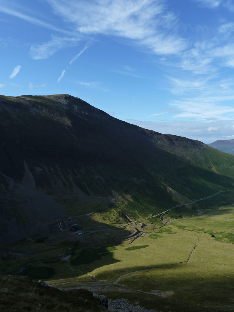
Force Crag Mine and Grisedale Pike |
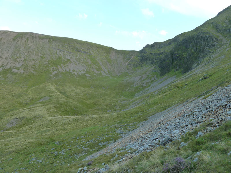
Views from The Shelf
Force Crag
The dramatic Force Crag and waterfalls. A view for the miners for countless years.
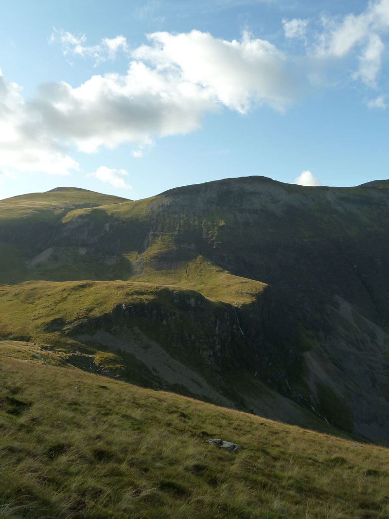
Scout Crag
I've been reading Peter Wilson's book on Lake District Landforms and I think there may be a "Protalus Rampart" at the foot of Scout Crag. Go and have a look for yourselves and let me know what you think!
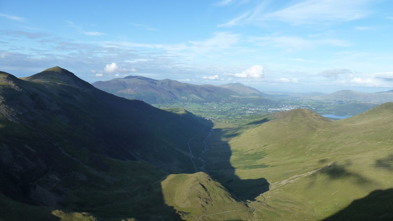
Skiddaw
Skiddaw and Blencathra from The Shelf. Outerside on the right and Grisedale Pike on the left.
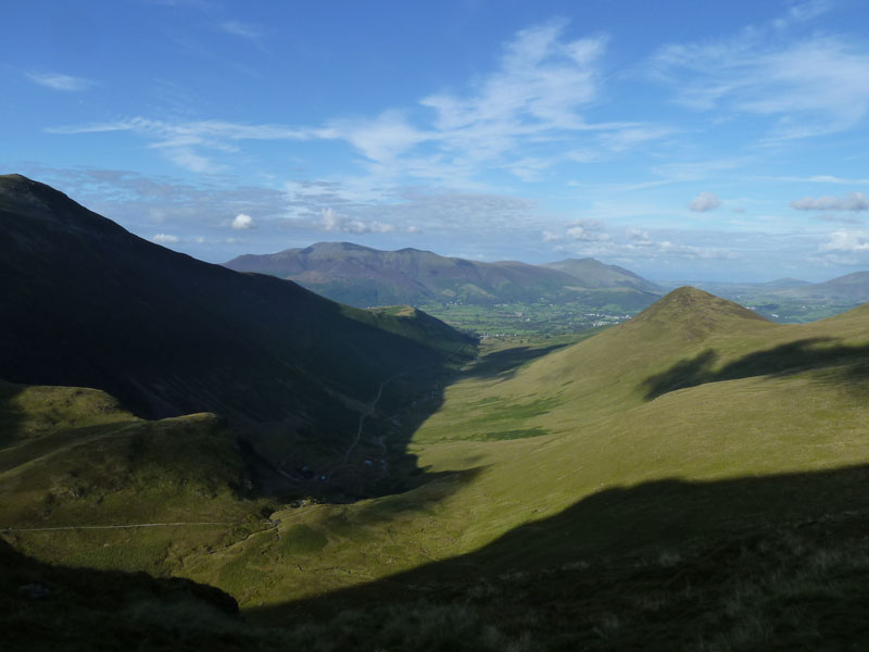
The Wider View
The Shelf Route offers unrivalled views of Coledale and Force Crag. A little bit of Derwentwater comes into view.
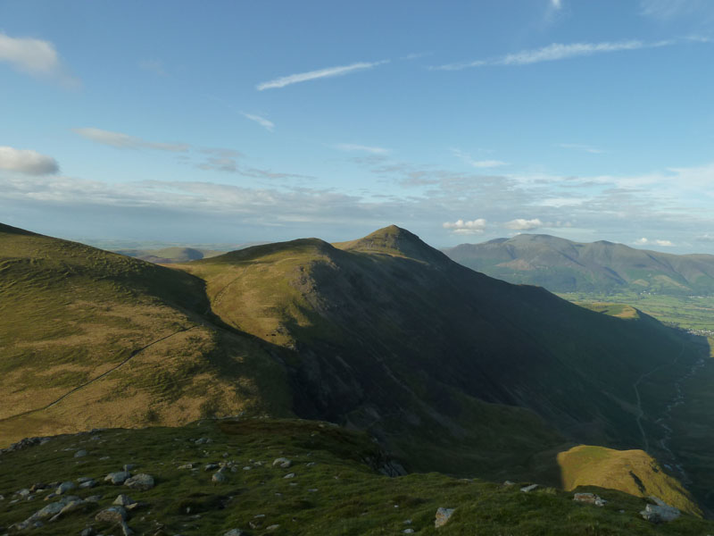
Grisedale Pike
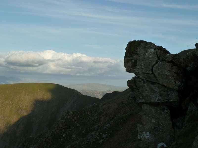
Turtle Head on Eel Crag
Very fragile rockface on Eel Crag, ready for a tumble in my opinion.
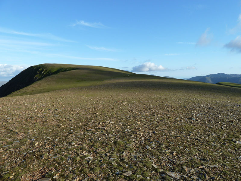
Crag Hill
Long flat top of Crag Hill (Eel Crag in Wainwright Books).
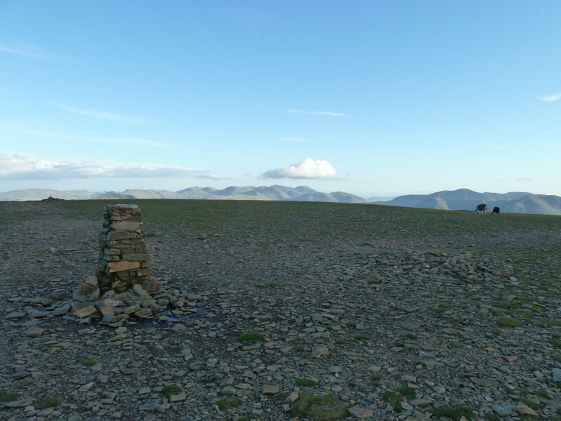
Eel Crag Summit 2749ft
The Trig Column is not far from collapsing. This is a tragedy, this is one of my favourite fell tops and the trig is an important part of the landscape un here. We need sand, cement, water, a board, a trowel and some volunteers and we need them soon.
Robinson
Robinson from Eel Crag. The ridge of Knott Rigg nearer the camera.
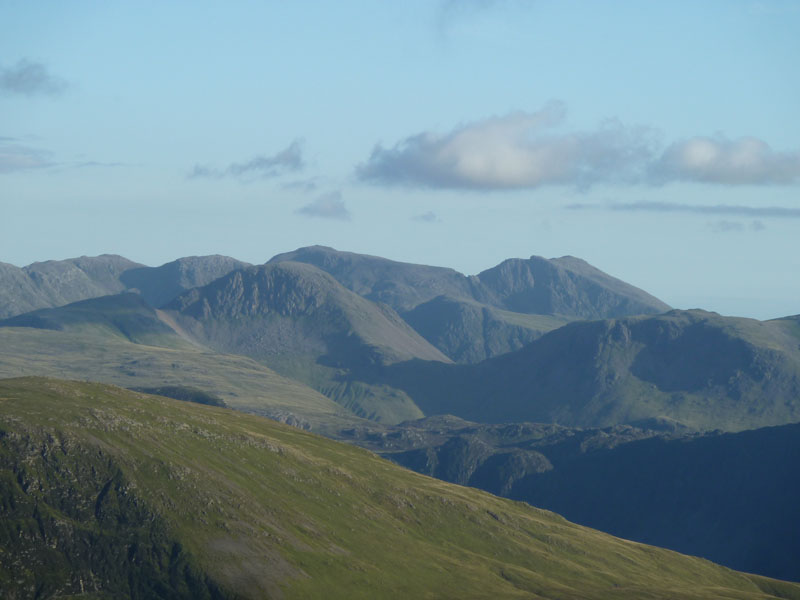
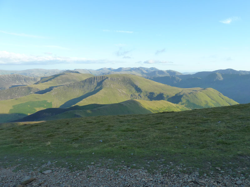
Great Gable and The Scafells
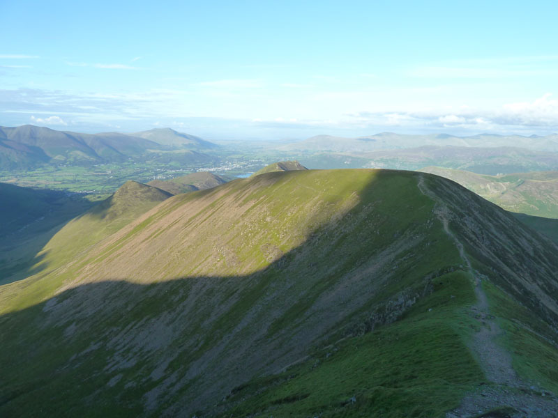
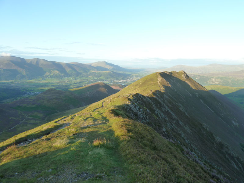
Sail
My route leaves Eel Crag and heads for Sail. If Robinson has a "prosaic" name, how about Sail?
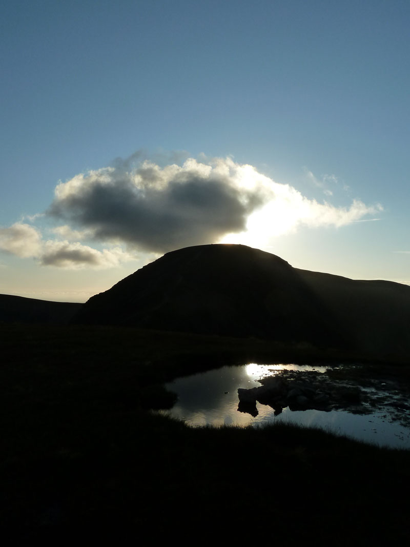
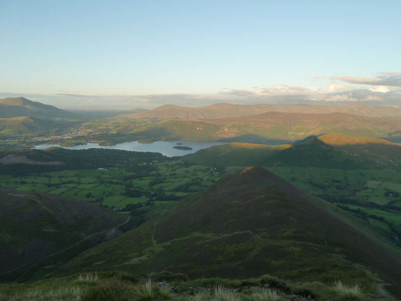
Sail Summit 2530ft
Sail is not one of my favourite summits, but it does possess a puddle and I've used it as foreground for this view back to Eel Crag.
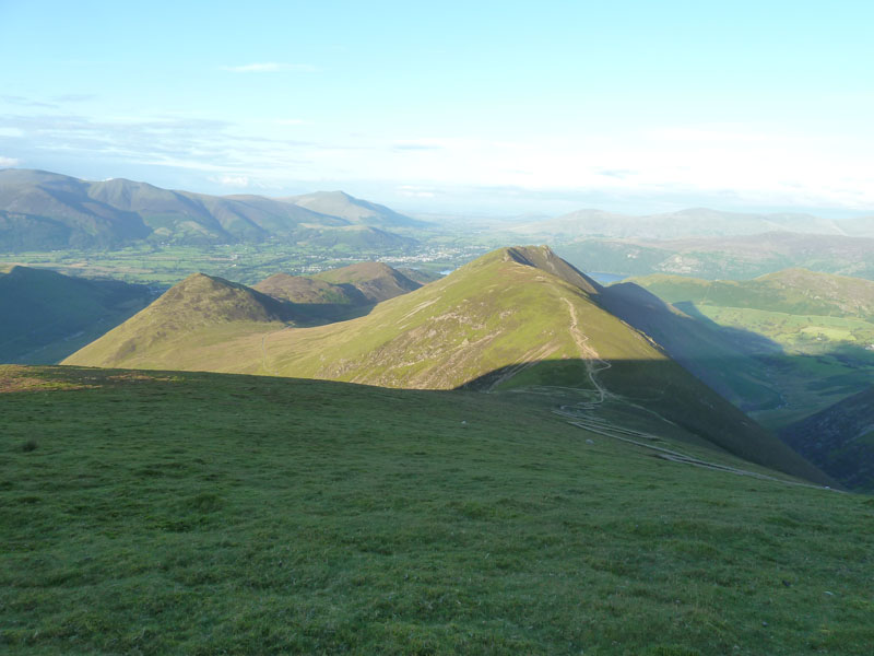
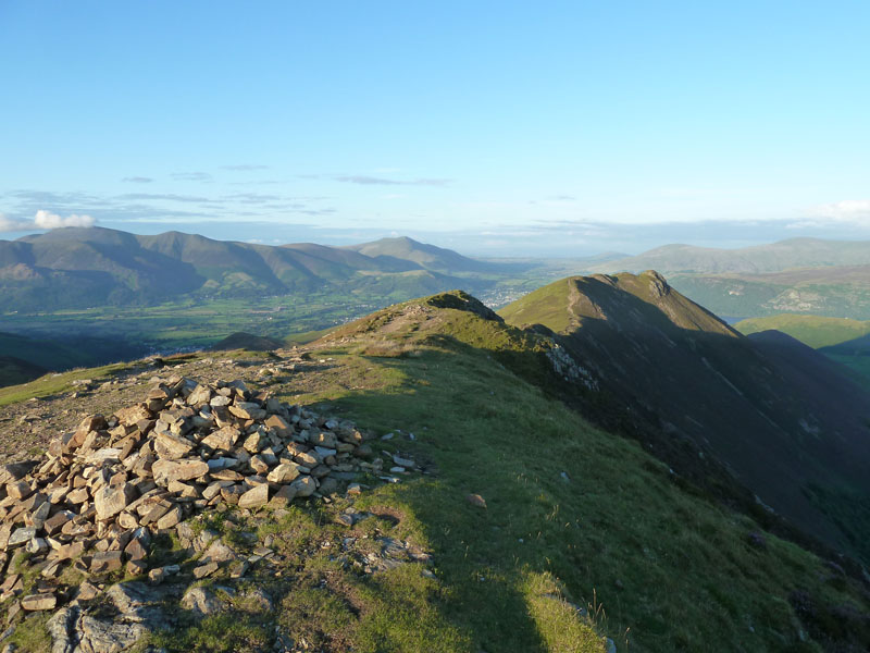
Scar Crags
Directly in front is Scar Crags, to the left is Outerside. It's possible to avoid the zig-zags by taking a path to the left. Is that the right thing to do? Or should we extend our walks by zigging and zagging on the manufactured walkway. Discuss.
Ard Crags
The highpoint of Ard Crags clings on to the last of the day's sunshine.
Scar Crags Summit 2205ft
There is still time to carry on to Causey Pike. It occured to me that my monthly phone bill needed paying by tomorrow, so I wonder if I'm the only person ever to pay their phone bill by card from the top of Causey Pike?
Causey Pike
The summit stands at 2035ft asl and is just 3/4 mile away. A true "Ridge Route" if ever there was one.
Rowling End from Causey Pike
My route is down into the dip and then off to the left to Stonycroft Bridge.
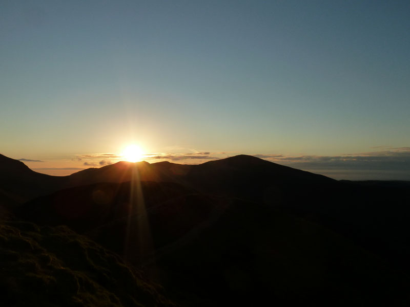
Sunset over Hopegill Head
Time to put the camera away. What a great way to spend a summer evening!
Walkers: Just me.
Time taken: 5hrs over a distance of about 10 miles.
Route: Braithwaite, Coledale Mine Road, The Shelf Route to Eel Crag, Eel Crag Summit, Sail, Scar Crags, Causey Pike, Stonycroft, road and bridlewway back over to Braithwaite.
Weather and conditions: Sunny, cooler on the tops, little in the way of wind.
Greetings Count: The first person I spoke to was Maggie, friend and fellow fellwalker. She stopped her car at the foot of Whinlatter Pass and reported on her day out on Pillar. Then it was busy on the Coledale mine road, the last folk I saw were those chaps with the flowerpot hats.
Richard's Refreshment Review: Nothing to report on this occasion.
All photos copyright Richard Ratcliffe 2011 ©
Take me back to the start ....